L'unité Earth Observation
L’unité Observation de la Terre de Magellium Artal Group est spécialisée dans la surveillance de la Terre par satellite.
Avec plus de 25 ans d’expérience, nous concevons et développons des algorithmes de traitement d’images et des chaînes de données pour des applications géophysiques, biophysiques et climatiques. Notre expertise est reconnue par les principales agences spatiales telles que l’ESA et le CNES, ce qui nous permet de fournir des produits et des services à forte valeur ajoutée pour la surveillance de l’environnement et l’évaluation du changement climatique.
Nous nous engageons à innover en investissant 10 % de notre chiffre d’affaires annuel dans la recherche et le développement.
Cette forte concentration sur la R&D nous permet de rester à la pointe de la technologie et de continuer à répondre aux besoins évolutifs des secteurs de l’espace et de l’observation de la Terre.
Notre Offre
Géométrie des capteurs
Nous travaillons sur des images acquises par des satellites d’observation de la Terre. Nous modélisons leur géométrie d’acquisition et optimisons et exploitons ces modèles.
Physique de la mesure et radiométrie
Notre expertise couvre la qualité de l’image, la physique de la mesure et la radiométrie dans le domaine optique. Cela comprend l’égalisation, la correction de la lumière parasite, l’étalonnage absolu, etc.
Segment sol
Nous développons des chaînes de traitement pour les satellites optiques, y compris la simulation d’instruments et le prototype de traitement au sol.
Applications thématiques
Nous réalisons des études scientifiques, gérons des projets sur des produits à valeur ajoutée (L3/L4) et fournissons des services dans différents domaines thématiques.
Surveillance de l'Espace
Nous avons développé une expertise et des solutions pour la détection et le suivi d’objets spatiaux (satellites et débris), depuis le sol ou à bord de satellites.
Vous avez un projet, nous avons des solutions
plus de
ingénieurs R&D dont 20 docteurs
plus de
missions satellites en cours de traitement
plus de
projets
Nos projets-clés

Copernicus High-Resolution Water Snow & Ice monitoring service pour EEA
Copernicus est un programme d’observation de la Terre de l’Union Européenne, coordonné et géré par la Commission Européenne. Ce programme se concentre sur notre planète et son environnement. Sous la délégation de l’Agence Européenne pour l’Environnement (AEE), notre équipe est à la tête d’un consortium européen chargé de développer et de générer des produits haute résolution sur la couverture de neige, eau et glace. Ces produits sont générés à partir des constellations Sentinel-2 et Sentinel-1 en temps réel sur l’Europe et la Turquie.
FLEX DISC pour ESA
L’équipe Observation de la Terre développe le traitement de niveau 2 (L2) pour la future mission FLEX (ESA). Cela comprend la calibration radiométrique et spectrale, co-registre géométrique, caractérisation atmosphérique, détection des nuages, correction atmosphérique, récupération de la fluorescence, récupération des paramètres biophysiques, ortho-rectification.
Leader du cluster FLEX DISC, nous sommes en charge du centre d’expertise couvrant les processeurs opérationnels L1C/L2, l’étalonnage/validation en orbite L1B à L2 et l’amélioration des données de mission.
COS3 pour CNES
COS3 est un projet France 2030 opéré par le CNES en cotraitance avec ArianeGroup et Eutelsat. Nous développons la version embarquée dans l’Espace de la fonction de traitement d’images pour la localisation par vision et l’inspection de proximité. Ce projet vient en réponse à la prolifération des satellites et des débris spatiaux en orbite basse.
MOTECUSOMA pour l'ESA
Ce projet vise à améliorer la compréhension du cycle énergétique mondial et de sa dynamique dans le contexte du changement climatique anthropique. Les enregistrements de données climatiques satellitaires développés dans le cadre de l’initiative sur le changement climatique de l’ESA permettront d’estimer le déséquilibre énergétique de la Terre et la température de l’air en surface, et d’analyser leur moyenne, leur tendance et leur variabilité au cours des trois dernières décennies.
CO2M pour ESA et EUMETSAT
La mission Copernicus Anthropogenic Carbon Dioxide Monitoring (CO2M) est une mission de l’Agence spatiale européenne (ESA) qui est la première à mesurer la quantité de dioxyde de carbone libérée dans l’atmosphère spécifiquement par l’activité humaine.
Nous réalisons les simulateurs des 3 instruments pour le compte de l’ESA et des systèmes opérationnels de traitements de la télémesure et des traitements de niveau 1 des instruments CLIM et MAP pour le compte de l’Eumetsat.
FR2030 Service de Qualité de l'Eau
Nous nous occupons de la surveillance à haute résolution de la qualité de l’eau et de la température sur les masses d’eau françaises à l’aide des missions Sentinel 2 et Landsat.
Nos valeurs
Nous créons l’environnement dans lequel nous souhaitons vivre.
Rigueur scientifique
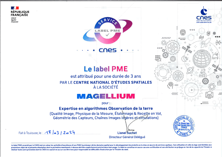
Notre équipe est composée de scientifiques, d’ingénieurs et de docteurs qui développent depuis des décennies une expertise de qualité, reconnue par les pairs (label du CNES)
Fiabilité
L’unité a participé aux grands projets européens de référence (LibGeo, Copernicus, PDAP, etc…).
Confiance
L’unité compte de nombreux partenaires de renom (ESA, ADS, TAS, etc.) et bénéficie du soutien évident du CNES.
Engagement
L’unité affiche ses préoccupations environnementales et climatiques et sa volonté commune de préserver la planète à travers les projets réalisés.
SCIENCE FOR EARTH CARE
L'unité Observation de la Terre de Magellium est experte en missions spatiales optiques et en applications géophysiques et biophysiques. L'unité offre un haut niveau d'expertise et une complète maîtrise sur l'ensemble de la chaîne de traitement, lui permettant de répondre à tous les projets des plus grandes commandes spatiales telles que l'ESA et le CNES.


