Illustration of satellite VENµS © IDE/SARIAN Robin, 2015
Sensor Geometry is a Magellium’s historical expertise.
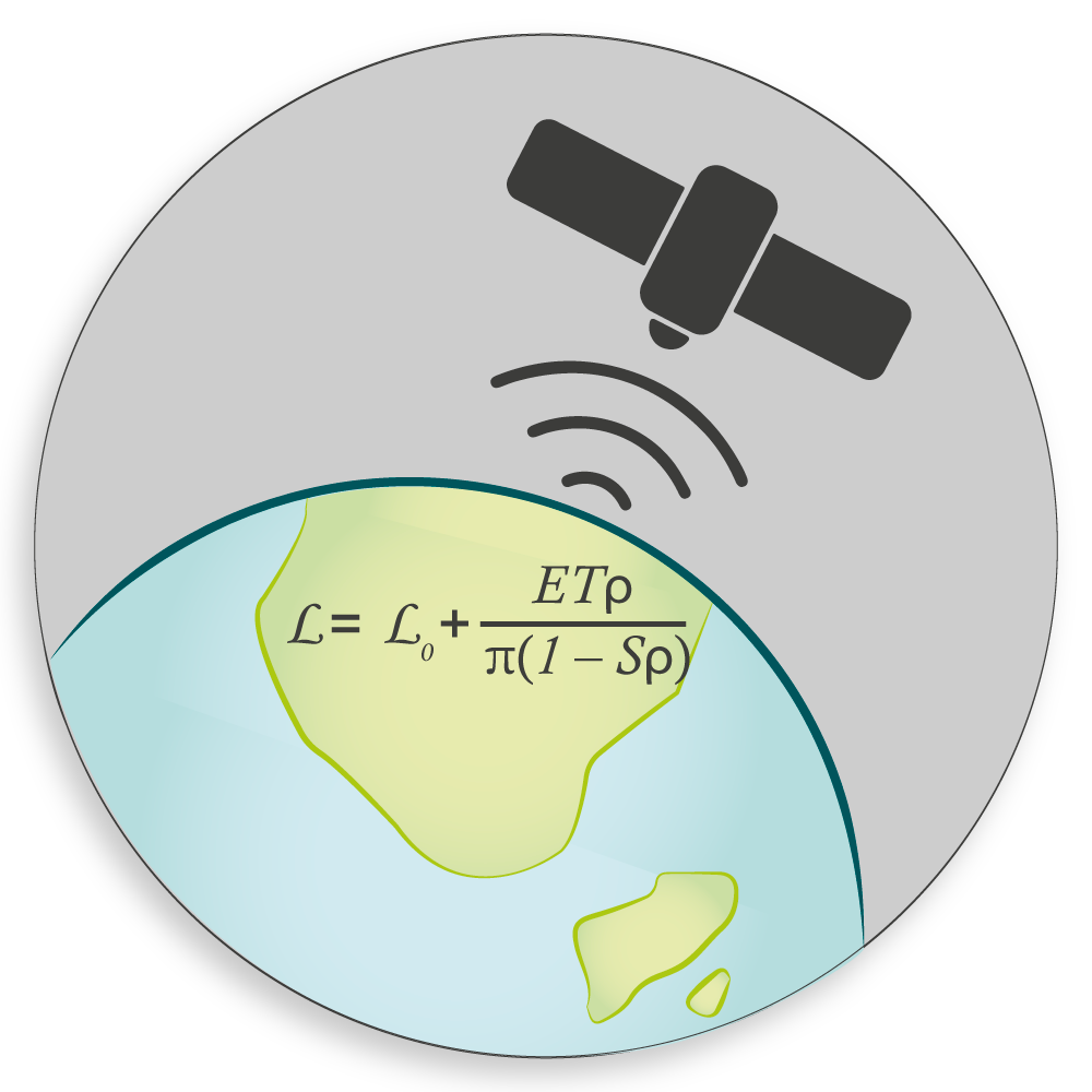
Sensor geometry
The detailed geometric modelling of a satellite sensor, which consists in modelling the path of the light from the Earth to the sensor, is a prerequisite for obtaining the most accurate geolocation of the pixels in an image. The main objective is to correct the data in order to make them usable for further specific processing (fusion with another georeferenced data, cartography, GIS etc.)
Use of sensor geometry
Sensor geometry is a strong expertise mainly applied to satellite imagery, but also to images acquired by airplane or UAV. In addition to the initial geometric modelling, we develop algorithms that optimise the acquisition parameters through image registration when they are inaccurate, and we operate these models in applications such as ortho-rectification, 3D reconstruction, etc…
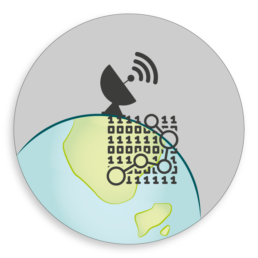
Deep learning
We are now alo using deep learning with the objective of performing tasks that previously required development of complex algorithms. Deep learning is now moving out of its theoretical and R&D dimension to find operational applications.

We provide complete data processing so you can focus on your project.
Get started
Our Expertise
Geometric modelling
Bundle adjustment
3D reconstruction
Deep learning
Space Surveillance and Tracking
Key projects
We take part in many sensor geometry projects. Some major ones are listed here :
LibGeo
LibGEO is the generic geometric library of CNES. Initially developed for the advent of the CO3D mission (CNES 3D optical satellites that will map the planet in 3D), its scope has been progressively extended to all future CNES space imaging or sounding missions (IASI-NG, Microcarb, 3MI, TRISHNA, etc). LibGEO aims at modelling the satellite sensors and optimising these models to obtain an accurate geolocation of the images. This project is associated with the DGA (French Armed Forces General Directorate) and IGN (National Institute of Geographic and Forestry Information) and benefits to CNES, CEA, DGA, TAS, etc.
3D reconstruction of urban areas
Through CNES contracts and own investments, we conduct a series of studies to build a 3D representation of urban areas from multi-stereo images like Pleiades (spatial resolution 50cm). The work follows several phases: 3D reconstruction of the DSM from multi-stereo images (by stereo-correlation), enhancement of the DSM (by deep learning), detection of building footprints (by deep learning), segmentation of the roof slopes (by deep learning) and construction of LOD2 building models.
CO2M – 3MI – FLEX L2
We are involved in prototypes of processing chains for ESA or EUMETSAT on the geometric modules, based on the EO CFI software or on internal solutions. In particular, we optimise the coregistration between different sensors or bands, we geo-localise raw images and ortho-rectify them on global DEMs. These prototypes are used to assist the design of the instrument and to define the expected performances of the operational processing chain.
Learn more about CO2M, 3MI and FLEX.
Space Surveillance and Tracking
CNES has access to the TAROT observatories and uses them for space surveillance. These three fully robotised observatories can acquire several hundred images per night of observation. We work on the detection and localisation of RSO (Resident Space Object) present in TAROT images. The successive studies led to the Triton software used for several years in operational mode. This software offers the following possibilities: operational for terrestrial, sidereal or satellite tracking, detection, astrometric reduction for the celestial location of objects, photometric calibration for magnitude of objects, modelling of atmospheric refraction and optical distortion.
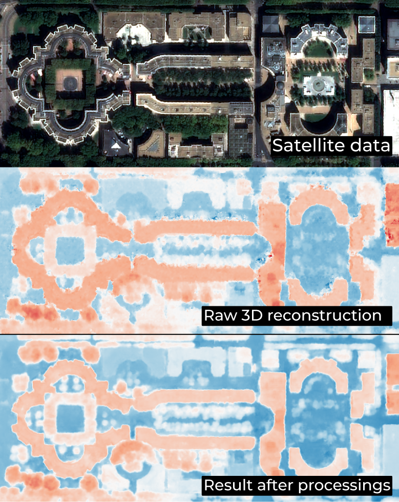
3D reconstruction, processed by Earth Observation unit
Learn more about our other offers :
SCIENCE FOR EARTH CARE
L'unité Observation de la Terre de Magellium est experte en missions spatiales optiques et en applications géophysiques et biophysiques. L'unité offre un haut niveau d'expertise et une complète maîtrise sur l'ensemble de la chaîne de traitement, lui permettant de répondre à tous les projets des plus grandes commandes spatiales telles que l'ESA et le CNES.