HYFAA
Objective
Developing a hydrological forecasting platform based on the assimilation of altimetric data
Satellites / Instruments
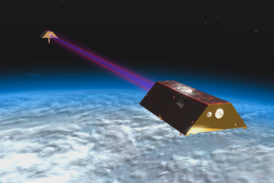
Current and future altimetry missions like Sentinel-3
Skills
Altimetry, hydrological modelling, data assimilation
Date
From 2020 to today
The HYFAA plateform
The advent of new satellite missions such as Sentinel-3 and the imminent launch of the SWOT (Surface Water and Ocean Topography) mission opens up new perspectives for the estimation of lake and river volumes and flows. This study describes the initiative to develop a hydrological forecasting platform based on the assimilation of water level and/or river flow data observed by satellite.
Implemented first in the Niger basin, this platform is intended to be deployed in other large river basins and to serve as a tool for monitoring variations in water resources, thus responding to SDG indicator 6.6.1 (change in the measurement of water-related ecosystems).
![]()
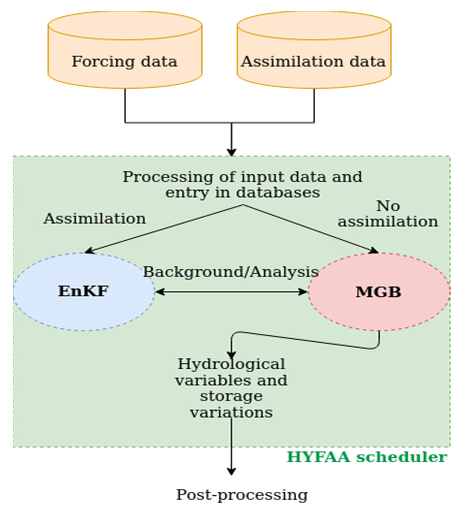
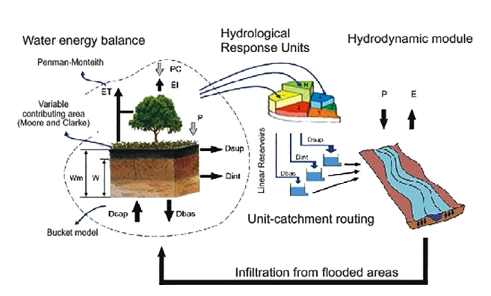
The semi-operational hydrological forecasting platform HYFAA provides the coupling between a large-scale hydrological model and an ensemble Kalman filter (EnKF). The hydrological model used is the MGB (Modelo de Gran Bacias) model developed in the Large Scale Hydrology Research Group of the University of Rio (Paiva et al., 2013). The ensemble Kalman filter (Eversen, 2003) is a stochastic method that corrects the model states and parameters with each acquisition of observed data.
HYFAA and its uses
-
-
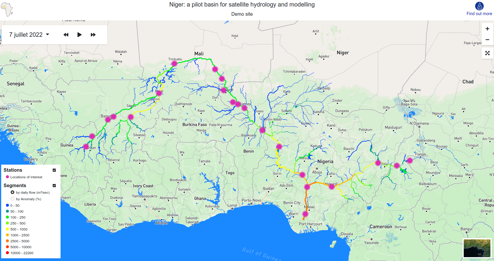
- MGB-HYFAA Niger : an experimental demonstrator for monitoring/predicting the flow at any point on the river. Project financed by CNES, carried out in collaboration with the Institut de Recherche pour le Développement (IRD) and the Niger Basin Authority (NBA).
-
-
-
- Global Gravity-based Groundwater product (G3P): l’Unité Observation de la Terre de Magellium is part of a consortium of 12 European partners in a project that aims to estimate groundwater stock variations (defined as an Essential Climate Variable by GCOS) through a combination of satellite data (GRACE, Sentinels) and models (Lisflood, HYFAA).
-
-
-
- Helping the design of future altimetry missions: HYFAA is used in twin experiments (OSSE) to evaluate the impact of future satellite missions (SWOT, SMASH…) on hydrological forecasting and to determine the optimal data characteristics (error, orbit).
-
Démonstrateur opérationnel HYFAA-Niger
Modèle MGB
Satellite GRACE
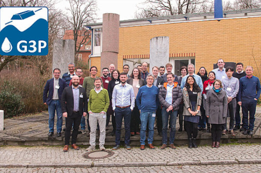
Consortium G3P
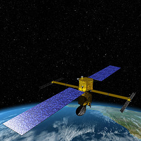
Satellite SWOT
Démonstrateur opérationnel HYFAA-Niger
Satellite SWOT
Consortium G3P
Satellite GRACE
Modèle MGB
Key partners
Hydromatters, Géosciences Environnement Toulouse (GET), CNES, LEGOS, Niger Basin Authority
Key words
observation, satellite, earth, studies, hydrology, altimetry, niger, lake, river, water, ecosystem
SCIENCE FOR EARTH CARE
The Earth Observation Unit of Magellium is an expert in optical space missions and geophysical and biophysical applications. The EO unit provides high level of expertise and full capacity on the whole processing chain, enabling it to respond to all projects from the greatest space orders such as ESA and CNES.