Merlin
Methane Remote Sensing Lidar Mission
Soutien technique pour le CNES

Mission
Measure the concentration of methane in the atmosphere and identify the sources of this greenhouse gas
Instrument
LIDAR IPDA
Skills
Radiometry, signal processing, radiative transfer
Date
From 2003 to today
Expected launch date 2027
The MERLIN project
Methane is a major contributor to climate change. Indeed, one tonne of methane contributes 25 times more to climate change than one tonne of CO2 on a time scale of 100 years. It is produced both by natural and human actions. However, its production remains largely linked to human activities. Indeed, its quantity has doubled since the beginning of the industrial era.
This is why it is essential to accurately measure the amount of atmospheric methane in order to understand the workings of our climate.

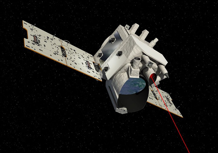
Illustration of the MERLIN satellite
© CNES/ill./DUCROS David, 2016
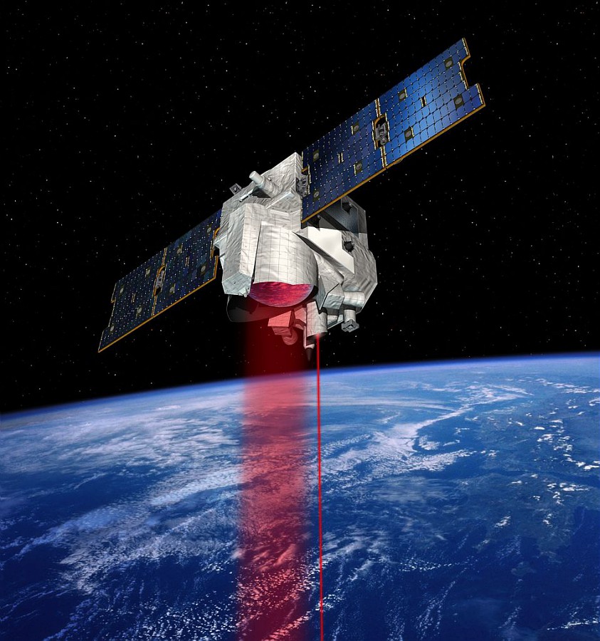
To carry out these measurements, the Merlin satellite uses a method that allows for unequalled precision. It will be equipped with the LIDAR IPDA for Integrated Path Differential Absorption. Its launch is scheduled for 2024. This mission is being developed jointly by the French CNES and German DLR space agencies.
The unit contributes to the definition of the algorithm of the processing chain, tests and validates the performance assumptions. It also carries out scientific studies on the geophysics of the measurement, and participates in the creation of an orbital simulator for any LIDAR IPDA satellite.
Learn more about the MERLIN mission on the CNES website.
![]()
The objectives
Part of the unit is based at the CNES premises in order to better respond to the project.
The objective of the MERLIN project is to accurately measure the amount of methane in the atmosphere and to know its sources. To achieve this, our activity is based on these essential points:
• geometric model: L1 first geolocation
• preparation for validation
⇒ modelling the spatio-temporal variability of methane
⇒ comparison of weighting functions with TCCON
• estimation of the SNR in flight

Illustration of Merlin satellite
© CNES/DUCROS David, 2016
Key words
observation, satellite, earth, studies, climate change, methane, greenhouse gases, ground segment, LIDAR, geometric modeling
SCIENCE FOR EARTH CARE
The Earth Observation Unit of Magellium is an expert in optical space missions and geophysical and biophysical applications. The EO unit provides high level of expertise and full capacity on the whole processing chain, enabling it to respond to all projects from the greatest space orders such as ESA and CNES.

