DIMITRI
DIMITRI
Database for Imaging Multi-spectral Instruments and Tools for Radiometric Intercomparison
Mission
Database for multispectral imaging instruments and tools for radiometric intercomparison
Instruments
Various optical sensors : SPOT, ERS-2, AQUA, PARASOL, ENVISAT
Skills
Sensor radiometry, radiometric measurements
Date
From 2014 to today
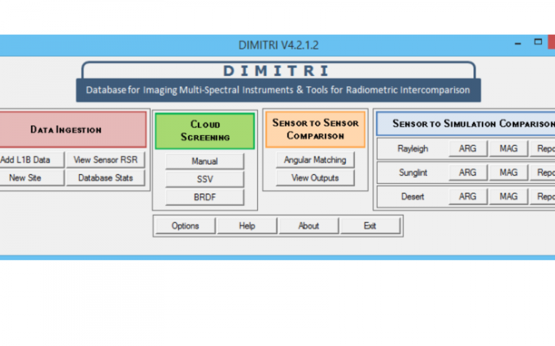
DIMITRI project
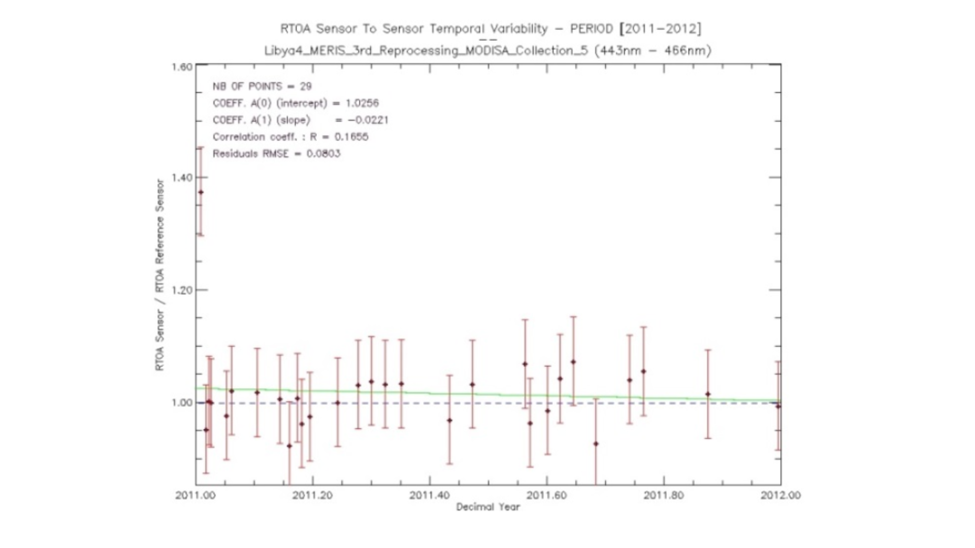
DIMITRI is a tool developed to check the radiometry of sensors using ground targets that have stable radiometric properties. This tool manages a database containing the level 1 radiometric measurements of different optical sensors: MERIS, MODIS, AATSR, AATSR2, S2A, OLCI, PARASOL, VEGETATION, etc. In addition, the DIMITRI tool allows intercomparisons to be made from the selection by using a reference sensor.
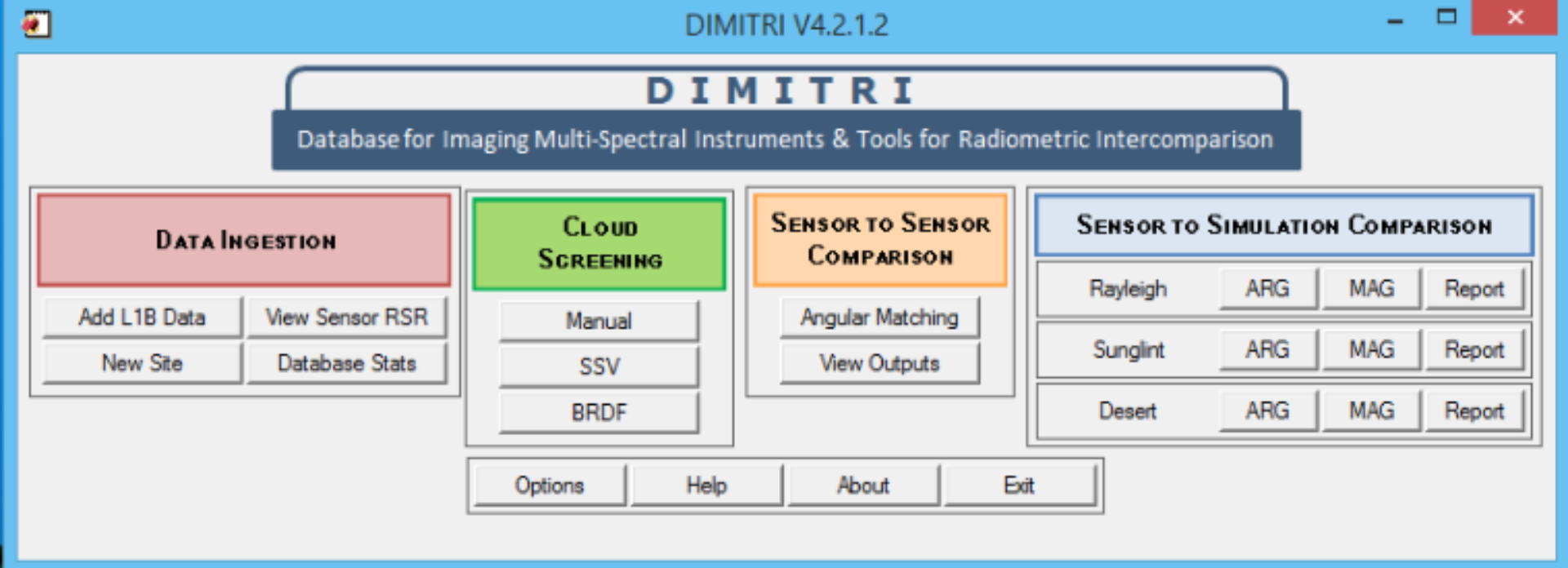
DIMITRI can be used for intercomparison of TOA radiance and reflectance values in the 400nm – 4μm wavelength range. This is generally known as Level 1b Earth Observation (EO) satellite data.
Learn more about the DIMITRI tool here.
![]()
The objectives
DIMITRI’s features are the followings:
• Sensor-to-sensor comparison
• Sensor-to-simulation comparison
⇒ Based on radiative transfer simulations of TOA reflectances for
⇒ Rayleigh
⇒ Sunglint
⇒ Desert
• On different sites:
⇒ Desert
⇒ Sunglint
⇒ Ocean
⇒ Cloud
⇒ Snow
Key partners
ESA, ARGANS
Key words
tool, radiometry, sensor, data, imagery, multispectral, SPOT, ERS-2, AQUA, PARASOL, ENVISAT
SCIENCE FOR EARTH CARE
The Earth Observation Unit of Magellium is an expert in optical space missions and geophysical and biophysical applications. The EO unit provides high level of expertise and full capacity on the whole processing chain, enabling it to respond to all projects from the greatest space orders such as ESA and CNES.