
Ground segment
We design, develop and operate scientific processing chains for optical and atmospheric payloads, from telemetry reception to the production of high value-added geophysical data, in both prototype and operational environments.
The development of data processing chains by our team
Our activities cover the entire ground-based segment of data processing for Earth observation payloads, from raw telemetry data to finished products that are ready for use by end-users.
The processing chains we develop enable the generation of L0 to L2/L3 products, based on:
- radiometric and geometric processing algorithms (instrumental corrections, calibration, orthorectification)
- high-precision geolocation methods
- modules for thematic information extraction (classification, cloud masks, water surfaces, land cover, etc.)
A large part of this processing is specific to the features of each sensor (geometry, spectral response, acquisition mode), ensuring precise adaptation to the instrument’s performance.
Our expertise covers the entire mission lifecycle.
The Ground Segment team is involved at every stage of the space mission lifecycle:
- analysis of user requirements, specification of products and expected performance
- contribution to the definition of sensors, data simulation and prototyping of processing chains
- design and validation of scientific and operational processing chains
- deployment, supervision and maintenance of processing chains under operational conditions.

We design, develop and operate complete scientific data processing chains, from telemetry to geophysical products, tailored to the requirements of operational space missions.
Contact us
Our Expertise
Satellite image analysis
Acquisition and processing chain
Prototyping
Radiometric and geometric processing
Key projects
ESP-SG for ESA and EUMETSAT
EUMETSAT’s EPS-SG-A mission control centre comprises, amongst other things, the Payload Data Acquisition and Processing (PDAP) unit, which is responsible for acquiring and processing data from the instruments.
Consequently, the Earth Observation unit is responsible for carrying out the operational processing generation functions (PGF) for the MetImage sensor within the PDAP processing chains. This instrument provides information on clouds, cloud cover, surface characteristics, ground temperature, ice and surface water.
Find out more here.

© EUMETSAT
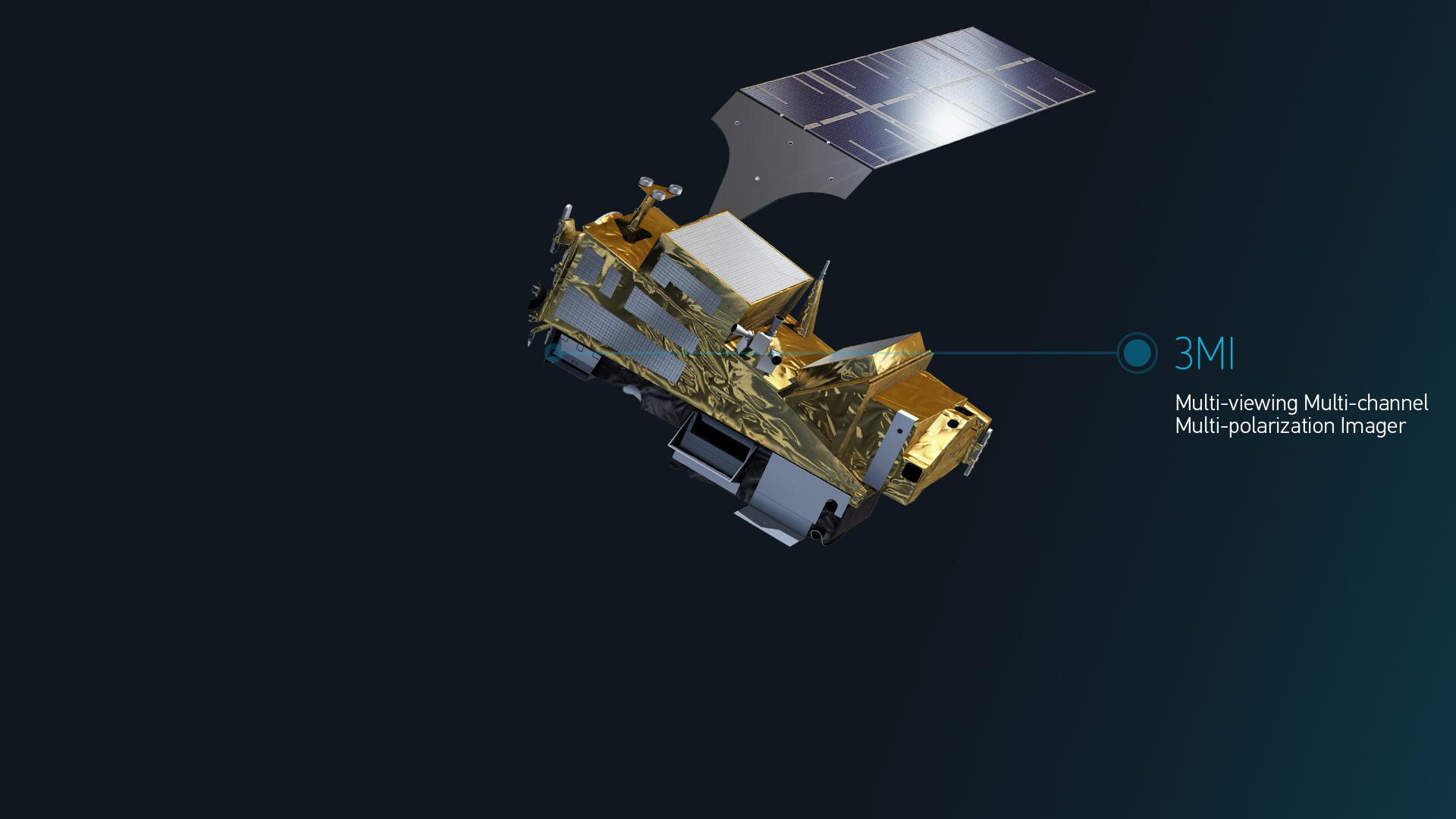
3MI for EUMETSAT and ESA
The 3MI instrument will be installed on the A satellite platform of the METOP-SG global programme, operated by EUMETSAT.
The Earth Observation Unit is a subcontractor to CNES for the prototyping of the processing chain from L1b1 to L1B. The unit is also a subcontractor to Leonardo for the 3MI IDS & GPP software up to L1b1 product level.
In parallel, the unit is a subcontractor to CSL, responsible for implementing the 3MI software for ground calibration (OGC) and for defining and maintaining the 3MI ATBD.
Find out more here.
CO2M for ESA
The CO2M (Copernicus Anthropogenic Carbon Dioxide Monitoring) mission is the first to measure the amount of carbon dioxide released into the atmosphere. It will culminate in the launch of two identical satellites (Sentinel 7A and 7B) by the end of 2025, which will enable the identification of carbon dioxide emissions resulting from human activity.
As part of an OHB/TAS consortium, the Earth Observation unit is responsible for developing the ground segment prototype modules: telemetry simulation for the three instruments (CO2I, MAP, CLIM), generation of L0 products, and a geometry module for the generation of Level 1 products.
Find out more here.

©CO2M, ESA, processed by OHB
© EUMETSAT



Our other offers

Sensor geometry
We work with images acquired by Earth observation satellites. We build, optimise and use a geometric model of Earth Observation sensors.

Measurement Physics and Radiometry
Our expertise covers image quality, measurement physics and radiometry in the optical domain. This includes equalisation, stray light correction, absolute calibration, etc.
Ground segment
We provide Image Ground Segments for Earth Observation satellites, developing the processing chains, the orchestration, the cataloguing and archiving of the image products, including instrument simulation and ground-based processing prototypes.

Thematic Applications
We carry out scientific studies, manage projects on value-added products (L3/L4) and provide services in various thematic fields.

Space Surveillance
We have developed expertise and solutions for the detection and tracking of space objects (satellites and debris), from the ground or on board satellites.

SCIENCE FOR EARTH CARE
Magellium Artal Group’s Earth Observation unit provides expertise in optical space missions and geophysical and biophysical applications. The unit delivers a high level of expertise and complete control over the entire data processing chain, enabling it to meet the requirements of all projects for major space agencies such as ESA and CNES.