
Physics of Measurement and Radiometry
We ensure the physical quality of satellite data through complete control of radiometric calibration and atmospheric correction processes, applied to land surfaces, inland waters and coastal waters.
The products generated provide reliable and traceable measurements that meet the requirements of scientific, institutional and operational applications.
Our work in measurement physics and radiometry
Measurement physics and radiometry are based on the modelling of radiative transfer, which enables us to describe the interactions between electromagnetic radiation, the atmosphere and the Earth’s surface within the context of observation systems carried on satellites in low Earth orbit.
In this context, our work involves transforming raw data from sensors into usable physical products that are not affected by the atmosphere (clouds, for example, can affect these data). This is achieved by correcting for atmospheric effects (scattering, absorption, aerosols, water vapour) and instrumental biases.
We are particularly involved in:
- the calibration and radiometric monitoring of sensors (absolute and relative calibration, drift monitoring)
- atmospheric correction for the retrieval of surface variables (reflectance, biogeophysical parameters)
- product validation and qualification (inter-sensor approaches, comparison with in situ measurements)
We develop and operate processing chains enabling the production of products at various levels (L1 to L3), tailored to the needs of scientific and applied users.
Finally, we are conducting advanced research aimed at improving physical models, refining processing performance and addressing specific challenges associated with new sensors or complex environments.

We manage the entire radiometric chain, from sensor calibration to atmospheric correction, in order to provide reliable, traceable and usable quantitative data for scientific and operational applications.
Contact us
Our Expertise
Satellite image analysis
Development of image processing pipelines
Key projects
Image Quality at CNES
Studies of L1 data processing modules for optical sensors (Venµs, Taranis, MicroCarb, MERLIN, etc.) are carried out in support of CNES before and during the commissioning phase. Activities include performance studies and validation.
FLEX L2 and FLEX DISC for ESA
The Earth Observation team is developing Level 2 (L2) processing for ESA’s FLEX mission: radiometric and spectral calibration, geometric co-registration, atmospheric detection, cloud detection, atmospheric correction, fluorescence retrieval, biophysical parameter retrieval, and orthorectification. The project has established a European scientific collaboration and will result in an operational prototype for ESA.
Find out more here.
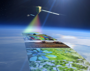
Illustration du satellite FLEX
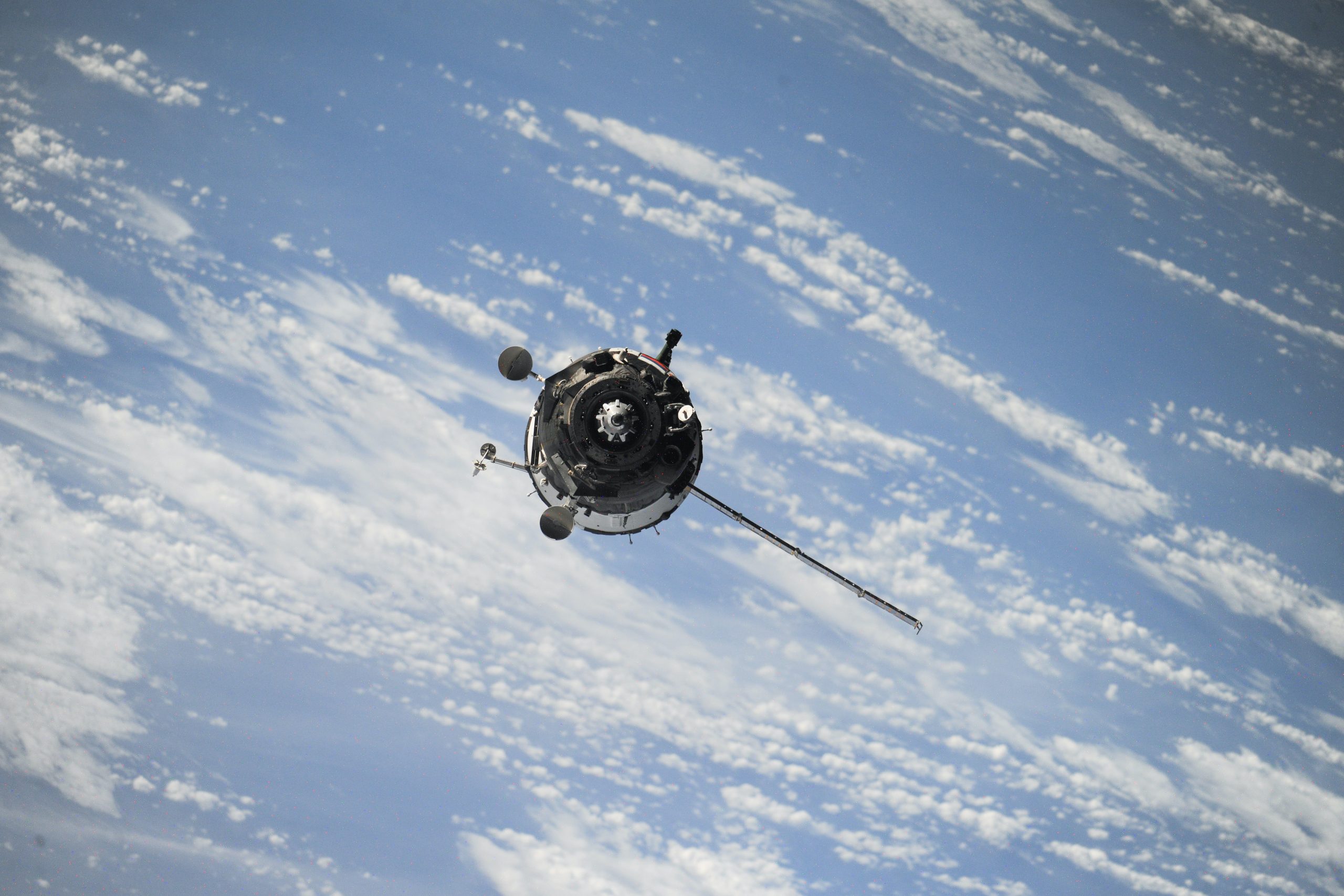
RadCalNet for ESA
The unit is responsible for the development, maintenance and updating of the RadCalNet portal. Since March 2013, it has provided facilities for viewing and downloading data acquired by RadCalNet’s four instrumented reference test sites. It has 287 users, who are either representatives of national space agencies (NASA, EUMETSAT, CONIDA (Peru), CSIRO (Australia), SANSA (South Africa), S2 MPC, etc.) or private operators of optical space sensors (Airbus, Leonardo, Planet Labs, Surrey Satellite Technology Ltd, etc.)
The four test sites provide top-of-atmosphere reflectance in nadir view at 30-minute intervals from 09:00 to 15:00 local standard time, from 400 nm to 2500 nm.
Find out more here.


Sensor geometry
We work with images acquired by Earth observation satellites. We build, optimise and use a geometric model of Earth Observation sensors.
Measurement Physics and Radiometry
Our expertise covers image quality, measurement physics and radiometry in the optical domain. This includes equalisation, stray light correction, absolute calibration, etc.

Ground segment
We provide Image Ground Segments for Earth Observation satellites, developing the processing chains, the orchestration, the cataloguing and archiving of the image products, including instrument simulation and ground-based processing prototypes.
Thematic Applications
We carry out scientific studies, manage projects on value-added products (L3/L4) and provide services in various thematic fields.

Space Surveillance
We have developed expertise and solutions for the detection and tracking of space objects (satellites and debris), from the ground or on board satellites.

SCIENCE FOR EARTH CARE
Magellium Artal Group’s Earth Observation unit provides expertise in optical space missions and geophysical and biophysical applications. The unit delivers a high level of expertise and complete control over the entire data processing chain, enabling it to meet the requirements of all projects for major space agencies such as ESA and CNES.